
News
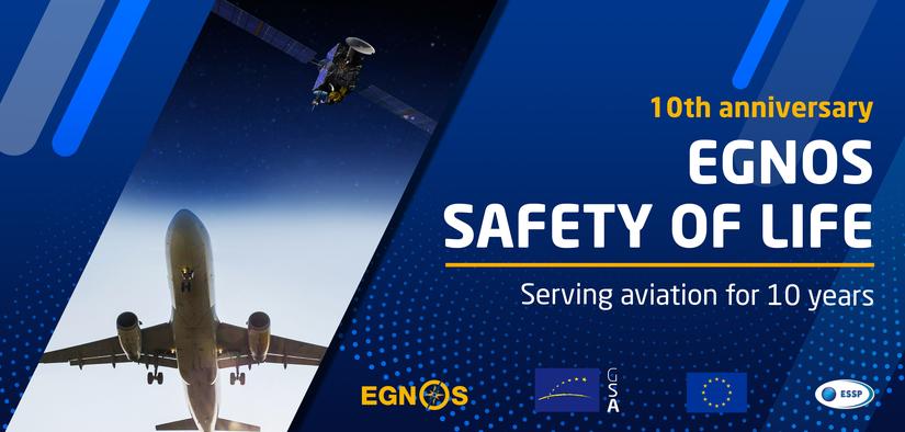
EGNOS Safety of Life: Serving aviation for 10 years
The European Geostationary Navigation Overlay Service (EGNOS) Safety of Life (SoL) Service is celebrating its 10th Anniversary. Since it was declared operational in March 2011, the EGNOS SoL Service has been supporting civil aviation operations down to LPV (Localiser Performance with Vertical guidance) minima at airports across Europe.
The EGNOS SoL Service consists of timing and positioning signals intended for most transport applications in domains where lives could be endangered if the performance of the navigation system is degraded below specific accuracy limits. The SoL service is based on integrity data provided through the EGNOS satellite signals. With over 700 EGNOS-based procedures at 367 airports and helipads, the system increases safety, accessibility and efficiency for operators and pilots approaching airport and helipads in Europe. Accessible airports equal more commercial opportunities for airlines and new flight routes at a regional and international level, with minimum costs for ground infrastructure and its maintenance.
Currently, only the aviation sector has developed the certification and individual authorisation procedures, and implemented the specific service requirements, needed to use the SoL Service. Organisations implementing EGNOS-based procedures include air navigation service providers (ANSP), aerodrome operators and rotorcraft operators. However, the SoL Service is also intended to support applications in a wide range of other domains such as maritime, rail and road.
Significant environmental impact
“Since its launch in 2011, the EGNOS Safety of Life Service has been making the aviation sector safer and more efficient for European operators. Apart from the increased safety, it has made remote airports more accessible and is helping to significantly reduce the environmental footprint of aviation. As uptake increases, these benefits will be increasingly felt in other safety-critical sectors also, such as maritime or rail” said GSA Executive Director Rodrigo da Costa.
The most obvious environmental impact of aviation is CO2 emissions into the atmosphere. With the aim of contributing to a “clean sky”, a methodology has been defined for air operators to calculate the reduction of CO2 emissions thanks to EGNOS-enabled LPV approaches.
Two main sources of fuel savings have been identified the first being related to the airport approach. Today, many airports require airplanes to make their approach step by step, levelling off at each stage and thus burning more fuel. EGNOS enables smooth and continuous glide path approaches that are more fuel efficient. The second is the avoidance of go-arounds due poor visibility (aborted landings) in EGNOS capable airports thanks to the lower decision height, down to 200 feet or 60 meters, for pilots to evaluate if the visibility is good enough to continue the landing process. Minimizing diversions equals less fuel consumption, a win-win solution for both the environment and the airlines. By 2025, 80,000 flight delays and 20,000 diversions will be avoided across Europe thanks to the contribution of EGNOS to the landing procedure of EGNOS-equipped airports.
Navigation operations based on the EGNOS SoL Service may require specific authorisation issued by the relevant authority. In the EU, the requirements governing the implementation of an EGNOS-based procedure are set down in the Single European Sky (SES) Regulation, and all related EU regulatory provisions applicable to the implementation of Performance Based Navigation (PBN) operations.
About EGNOS
The European Geostationary Navigation Overlay Service (EGNOS) is Europe's regional satellite-based augmentation system (SBAS). It is used to improve the performance of global navigation satellite systems (GNSS), such as GPS and Galileo. It has been deployed to provide navigation services to aviation, maritime and land-based users over Europe.
EGNOS uses GNSS measurements taken by accurately located reference stations deployed across Europe. All measured GNSS errors are transferred to a central computing centre, where differential corrections and integrity messages are calculated. These calculations are then broadcast over the covered area using geostationary satellites that serve as an augmentation, or overlay, to the original GNSS message.
As a result, EGNOS improves the accuracy and reliability of GNSS positioning information, while also providing a crucial integrity message regarding the continuity and availability of a signal. In addition, EGNOS also transmits a highly accurate universal time signal.
EGNOS is part of a developing multi-modal inter-regional SBAS service, able to support a wide spectrum of applications in many different user communities, such as aviation, maritime, rail, road, agriculture, geomatics.
About the European GNSS Agency (GSA)
As an official European Union Regulatory Agency, the European GNSS Agency (GSA) manages public interests related to European GNSS programmes. The GSA’s mission is to support European Union objectives and achieve the highest return on European GNSS investment, in terms of benefits to users and economic growth and competitiveness.
For more information, visit the GSA website.
Press contact: Marie Ménard, marie.menard@gsa.europa.eu
Tel: +420 237 766 627
Mobile: +420 602 619 776
About EGNOS Service Provider (ESSP)
ESSP SAS (European Satellite Services Provider) core activities are the operations and service provision of EGNOS.
ESSP shareholders are 7 key European Air Navigation Service Providers: Skyguide, DFS IBS, DSNA, AENA, NATS, ENAV, and NAV.
For more information, visit the EGNOS User Support website.
Press contact: Francisca Andrada, Francisca.Andrada@essp-sas.eu
Tel: + +34 696 574 424