
News

GSA highlights added value of EGNSS for drones at WATM 2019
March 21, 2019The added value of EGNSS (Galileo and EGNOS) for drones was the focus of a special session organised by the European GNSS Agency (GSA) at this year’s World ATM Congress in Madrid on 12 March, at which representatives from several projects spoke about how they are benefitting from the European space programme.

ESSP shareholders sign a joint statement to continue give full support to EGNOS and to the European PBN regulation
March 12, 2019The 7 Air Navigation Service Providers (ANSPs) of France, Germany, Italy, Portugal, Spain, Switzerland, and the United Kingdom in their role of ESSP-SAS (European Satellite Service Provider) founders came together to sign a joint letter, which outlines their commitment to continuing their support to EGNOS, a program from the European Union managed by the European GNSS Agency (GSA).

CGEOS Creative Geosensing relies on EGNOS for engineering geodesy solutions
March 11, 2019CGEOS Creative Geosensing is a Belgian company specialized in engineering geodesy and high precision positioning applications. CGEOS was founded by Professor Joël van Cranenbroeck in January 2014, taking advantage of his long-term (more than 30 years) experience with GNSS technology acquired at the Belgian National Geographic Institute along with other professional experiences. CGEOS addresses three major market segments at an international level: engineering geodesy consultancy services, GNSS high accuracy positioning and GNSS monitoring of human-made structures and natural elements. CGEOS delivers these services to both the public and private sectors, not only in Belgium but worldwide.
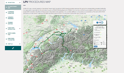
Helicopter RNP 0.3 routes
February 19, 2019Since last December, the Helicopter RNP 0.3 routes based on EGNOS are displayed in the LPV Procedures Map with their associated waypoints and the list of operators using them.

EGNOS, an ongoing story for aviation
February 19, 2019EGNOS is reaching the impressive 70 EGNOS WORKING AGREEMENTS established with Air Navigation Service Providers

Helping the visually impaired explore the outdoors
January 16, 2019On 3 December, as part of the International Day of Persons with Disabilities, Geko Navsat inaugurated the first accessible urban park using its Blind Explorer sensorial guidance solution.
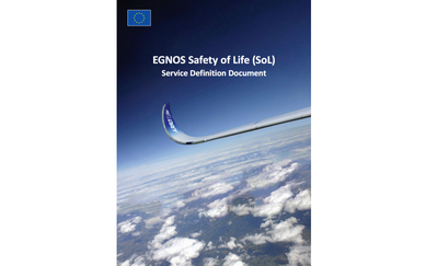
New Safety of Life SDD v3.2 Released
October 01, 2018The GSA, under collaboration with ESSP SAS, has published a new version of the Service Definition Document (SDD) for the EGNOS Safety of Life service! This long awaited release comes with a whole new collection of many important topics and improved performances.
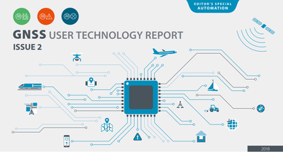
GNSS User Technology Report 2018 available for download now!
September 25, 2018GNSS User Technology Report 2018 - the go-to source for information on the dynamic, global GNSS user technology industry